
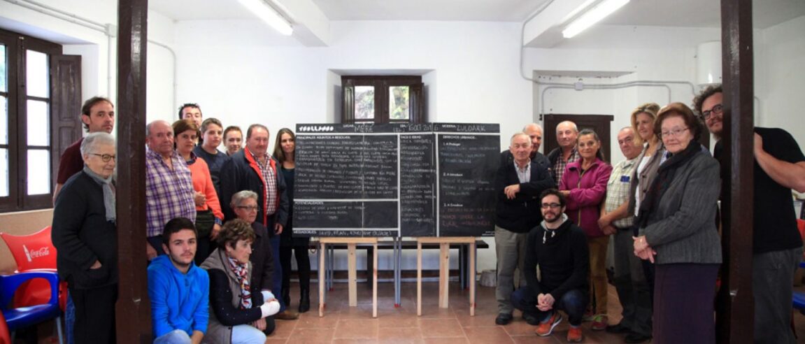
Venue: Casa de Conceyu de Meré, 16 October 2016, 12:00 h
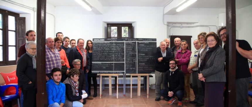
Participants: 22
Villages invited: Meré, La Huera, Cuetu Meré and El Ceu.
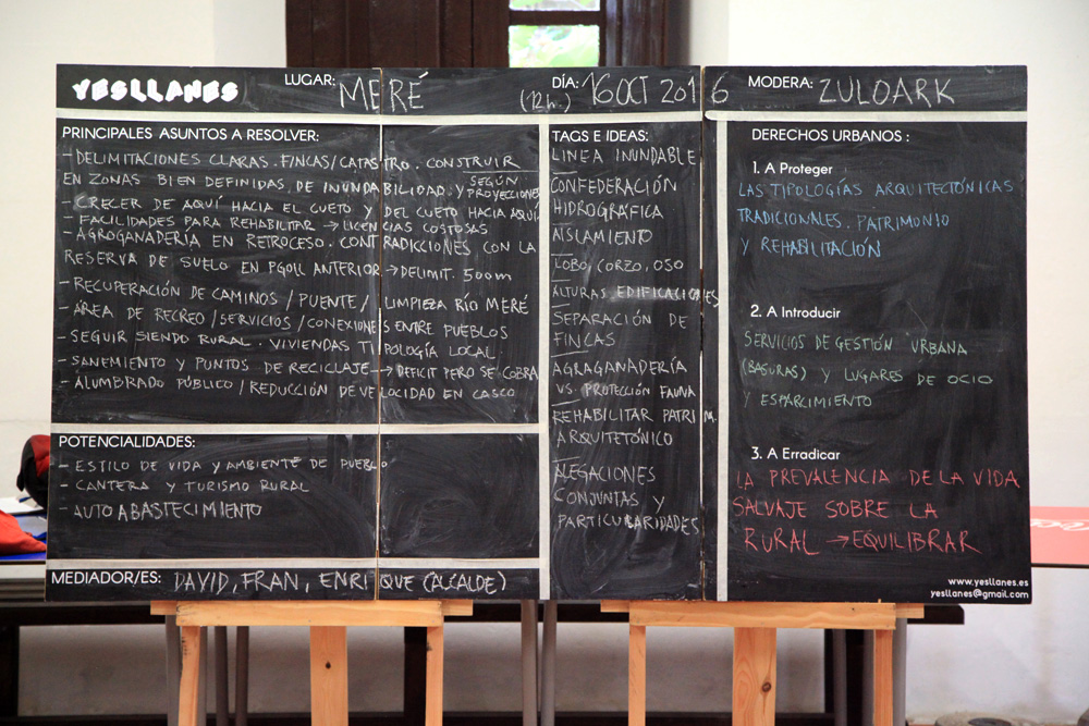
The Meré session reflected a demand shared by many villages in the municipality: to remain rural, maintain traditional typologies and preserve a way of life tied to the territory.
Here, however, the need for new and clear boundary maps appeared with particular force. Participants called for maps that reflect the real cadastre, plot divisions and the physical particularities of the area.
Flood risk also played an important role. Dirty or uncleared rivers and streams were identified as increasing exposure to floods, while restrictions from the water authority make local maintenance actions difficult.
A further controversy appears between farming and protected wildlife. The challenge is not to oppose conservation and rural life, but to find rules that protect ecosystems, safety, farming activity and rural heritage at the same time.
Key ideas
Situation: Meré wants to maintain its rural character and update the territorial information on which planning is based.
Tension: Environmental protection and restrictions on river maintenance can increase the sense of exposure to flooding.
Learning: Planning needs real maps, physical knowledge of the territory and dialogue with those who live there.
Return: Produce clear maps of boundaries, cadastre and flood-prone areas, and promote rehabilitation of rural heritage.
Urban beings and roles
Residents of Meré and invited villages: contribute knowledge of rivers, paths, plots and flood-prone areas.
Farmers: represent the continuity of rural life and its regulatory conflicts.
Water authority: appears as a key regulatory actor in river management.
Rural built heritage: cabins, houses and traditional buildings are resources for permanence.
Rights to introduce
- Right to clear and updated maps. Planning must start from the real territory, not incomplete cartography.
- Right to safety from flooding. Environmental protection must include risk prevention.
- Right to rehabilitate rural heritage. Existing buildings can sustain life and activity.
- Right to make protected wildlife and farming compatible. Conservation must recognise rural life.
Rights or situations to eradicate
- Eradicate planning with incomplete maps. Without real data, decisions generate grievances.
- Eradicate avoidable exposure to flooding. Rivers and streams require responsible management.
- Eradicate the separation between conservation and rural life. Protecting nature should not mean blocking those who live there.
- Eradicate lack of meeting spaces and services. Rurality needs minimum facilities.
Rights to protect
- Protect Meré’s rural character. Typologies, heights and ways of life are part of its identity.
- Protect rivers and village safety. Both dimensions must be thought together.
- Protect farming activity. It is central to economy and landscape.
- Protect rural architectural heritage. Rehabilitation can be an alternative to abandonment.